

Wimbledon Park – Through Early Photographs – From Before the Start of the AELTC Era
Wimbledon Park has evolved from the Capability Brown landscape, through to Earl Spencers property fire sales of the 1830-1840’s and surviving John Augustus Beaumonts Wimbledon Park Estate Scheme.
The History Of Wimbledon Park – from Spencers to AELTC – a brief recap
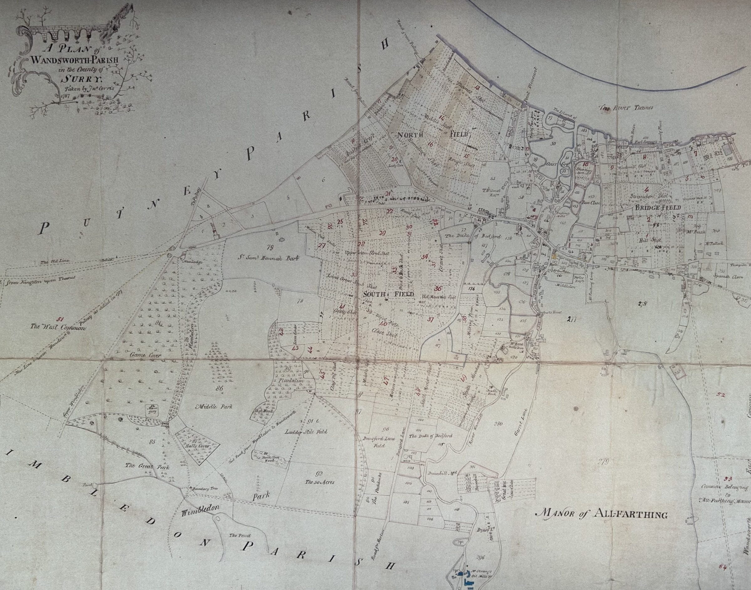
Earl Spencer commissioned a very detailed map, known as The Montreal Map, that is often ascribed to John Haynes with a date of 1770. It is almost certainly not by John Haynes and it certainly wasn’t created in 1770!
It is called the The Montreal Map as it is in the Canadian Centre for Architecture, Montreal. Firstly the map itself is not dated. As Dave Dawson, in the March 2021 edition of the Wimbledon Society Journal points out, that the the history of the “Game Cover” in the north-west corner of the Montreal map is key to understanding this. The addition of Wandsworth West Common to Earl Spencer’s Park, t was this addition that Brown landscaped for the Earl as the Game Cover, was not acquired by Spencer until 1782, so the Montreal map cannot have been made before then!
Steffie Shields, discovered a plan from 1783 that showed much the same detail of the Game Cover as on the Montreal Map, but it was accompanied by an invoice for works to complete the landscaping, dated 1783. Lancelot Brown died in early 1783 and the invoice is in the name of his business partner, and son-in-law, Henry Holland Junior. It seeks payment for works done by Brown before his demise and also for much further work to complete the Game Cover. So, landscaping this corner of the Park was begun by Brown and completed by Holland. The Montreal map, which shows the completed Game Cover, cannot have been drafted before 1783.
So the first real source, with a fully known provenance, that we have is the John Corris Map of 1787.
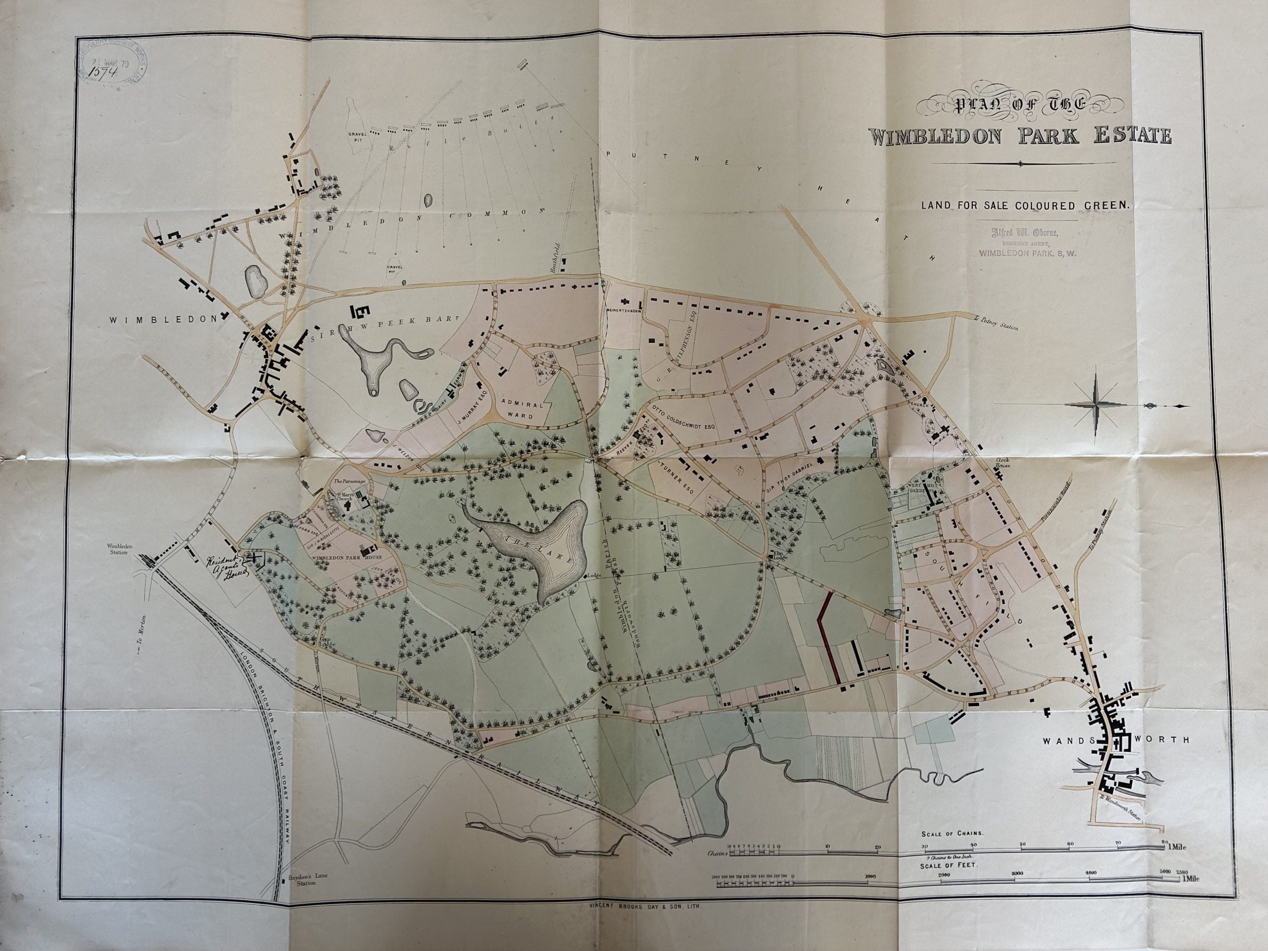
John Augustus Beaumont bought the park from Earl Spencer as part of his Wimbledon Park Estate scheme. His daughter, Lady Lane, sold the park to The Wimbledon Corporation in 1915.
Enter AELTC
The Park then entered a new era with the arrival of AELTC on the site from 1923 as can clearly be seen here in these images.
We have no view on the merits, or otherwise, of the AELTC scheme but present these images collated as a purely factual resource.
Below is a remarkable set of 1920’s aerial photos, that we have come across online, that make very clear the state of the park prior to AELTC’s involvement with the site. The photos were taken by a company called AeroFilms who initially took aerial photos of stately homes and buildings of significance.
If you hover the cursor over the images the dates and attributions appear at the bottom of the image.
An undated image ascribed to William Field and taken between 1880 and 1920 – probably in the earlier part of that period. You can see the spire of St Mary’s in the background and what appears to be Wimbldeon House is peeking from the trees centre left of the frame.
1911
1923
1924
1937
RAF postwar vertical – 1947
1952
1952
The not very pleasant looking sewerage works bordering Wimbldeon Park in 1923 which is thankfully no longer there.
Wimbledon Power Station next to the engine sheds, in 1924, which is curiously unmentioned in any of the AELTC site appraisal documents.
This series of blogs in our From The Archives series is intended as a resource for schools and local residents who are interested in researching local history. We are very happy to help schools with access relevant materials including an appropriate confirmation of licensed use from the relevant archives. However, the images that are reproduced here are copyright of the respective archives and may not be reproduced without license from the archives and commercial use is strictly prohibited.